Reference
Mobile Mapping in Gamla Stan
When LE34 Mätkonsult’s Mobile Mapping vehicle was on assignment in Stockholm, we also documented Gamla Stan.
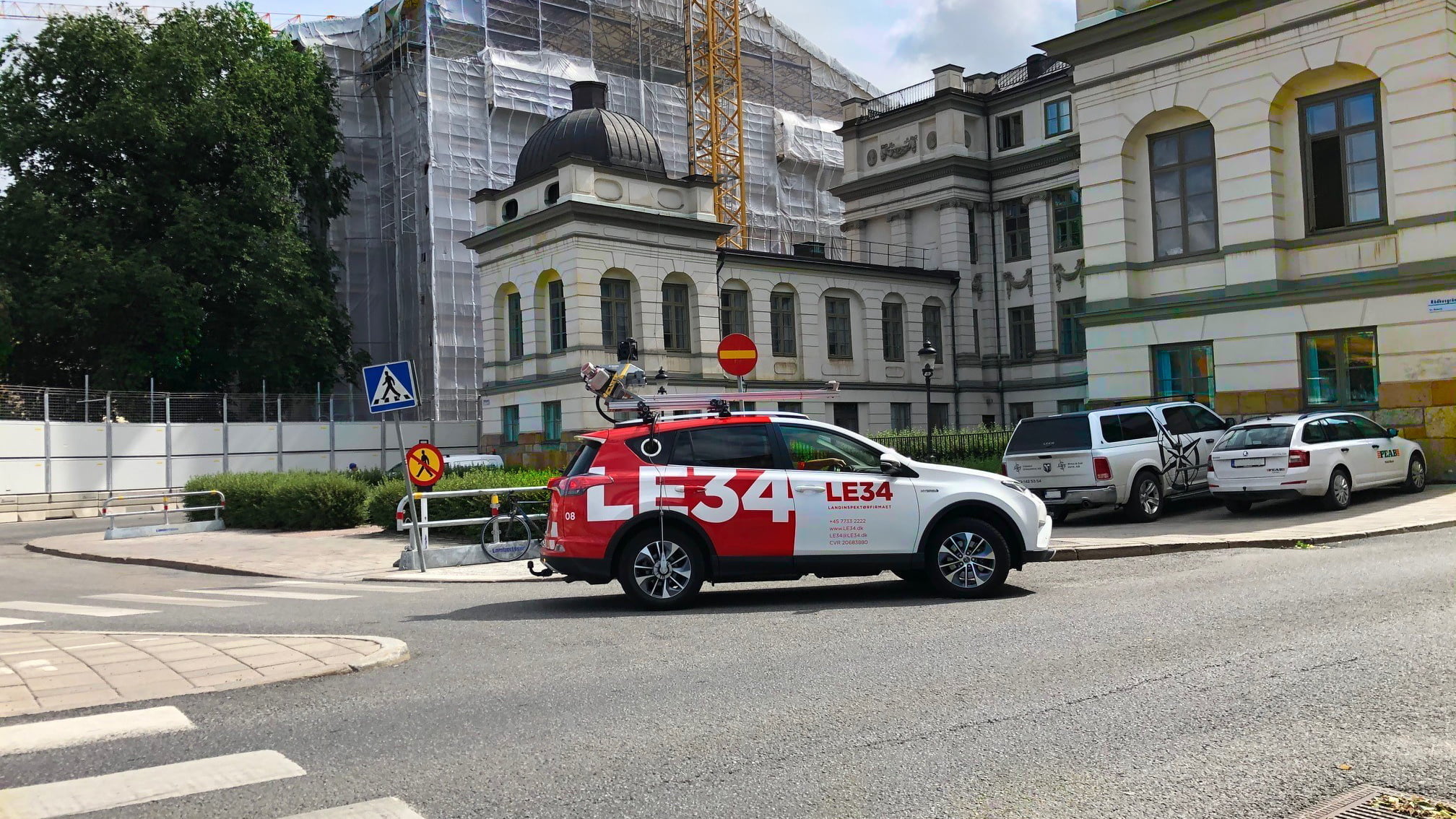
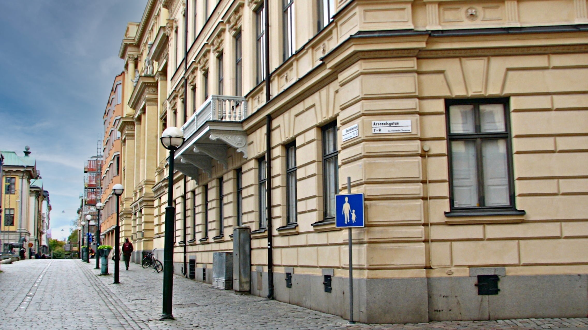
Mobile Mapping on the streets of Stockholm and a Mobile Mapping vehicle in Stockholm
Johan Jönsson, Affärsområdeschef LE34 Mätkonsult
Potentialen med Mobile Mapping är stor. Genom att vi utför hela arbetsflödet själv, från insamling av data till bearbetning och digitalisering, så har vi korta reaktionstider och kvalitetskontroll i alla delar.
Mobile Mapping – all data at your fingertips
Mobile Mapping is the market’s best and fastest tool for efficient road management and design.
LE34’s Mobile Mapping vehicle is equipped with a Trimble MX9 Mobile Mapping system. As the vehicle moves, its surroundings are captured quickly, seamlessly and efficiently as point clouds and panoramic images.
The resulting data can be used to create a design basis, among other applications.
The end client usually receives point clouds, a terrain model, digitised features such as asphalt edges and road markings, and panoramic images.
Our proprietary web viewer, PointView™, is also included in the delivery, enabling the end client to review all the material at their convenience.
PointView™ can be used to take measurements, digitise features, create cross-sections and much more. The data can, of course, be exported in formats including .las and .dxf, and the viewer interface is available in Swedish, Danish and English.
-
Mobile Mapping
LE34’s latest surveying technology, Mobile Mapping, brings together all data from your road network in a complete and user-friendly digital overview, allowing you to take precise measurements directly on screen. It is the market’s best and fastest tool for efficient road operations and design. Available exclusively from LE34.
Read more -
PointView®
Experience the freedom of a web-based solution that gives you access to massive amounts of data from a user-friendly tool directly in your browser. We needed an intuitive workflow for exchanging and managing point clouds, 3D models and detailed interactive maps. That is why we developed PointView®.
Read more -
Design surveying
-
Street-level imagery
Mobile Mapping sparer tid og penge
Med Mobile Mapping reduceres de samlede omkostninger til en typisk kortlægnings- eller opmålingsopgave til en fjerdedel.
Read more about Mobile Mapping.Would you like to know more?
Contact us
If you would like more information about Mobile Mapping, please feel free to contact us by email or phone.
Johan Jönsson
Director
+46 8 343 934
jjn@le34.se