There, wherever you are
Things are booming in the Skaraborg region. They already were when we established our LE34 office in Skövde in 2021, and the development continues. As local land surveyors, we contribute to the region’s ambitious development journey, with growing industries and homes waiting to be built.
From the office in Skövde we handle everything from smaller local surveys to larger projects. We deliver services such as utility surveying, scanning of buildings, drone surveying, and setting-out and measurement in connection with construction and civil engineering projects. As consultants in surveying and mapping, we specialise in choosing the method that is most efficient while meeting the required tolerances. Thanks to our local roots, we have short response times and knowledge of local conditions.
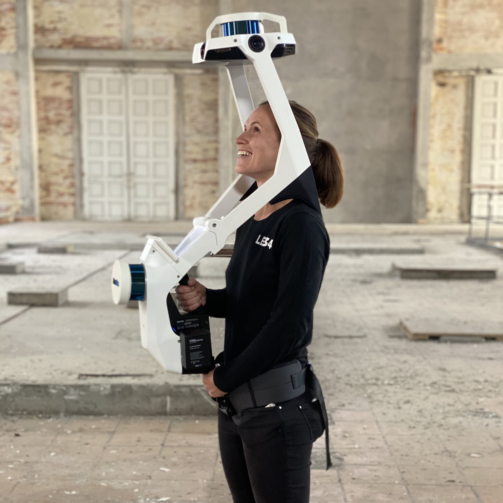
NavVis VLX – fast and efficient
The VLX scanner captures 500,000 points per second and delivers high-quality data in complex buildings, on stairs and in technical rooms. The 3D model is created from a 3D scan of Sorø Church in Denmark.
3D scanning as a design basis
Time consumption and data quality are decisive in our choice to use our portable VLX laser scanner for area surveying. It is a method we have used, among other things, to survey the local upper-secondary school in Skövde as a basis for facility management. The 3D scan provides an accurate design basis that eliminates the risk of misunderstandings and delays later in the process. In addition, all data is stored in the point cloud and can therefore be used for future surveys.
Follow us on LinkedInMartin Sabel, land surveying technician and office manager at the Skövde office
A 2D drawing is not always easy to read for a property owner who needs help with an extension. With a complete 3D scan, we can turn the old drawing into a photo-realistic 3D model. Here the property owner can see exactly how and where we have measured.