LE34 Dronninglund
Contact
LE34 Dronninglund has been in the town for more than 65 years. Therefore, even though we are Denmark’s largest provider of surveying and land management services, we have a strong connection to the local area.
Stationsvej 8, 9330 Dronninglund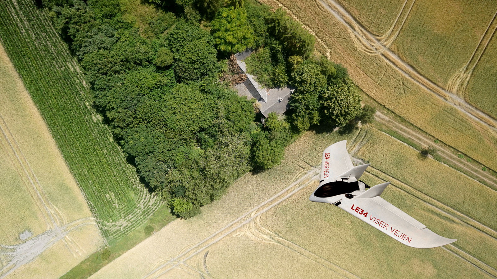
There, wherever you are
LE34 Dronninglund covers the entire surrounding area. We undertake a broad variety of surveying projects for a wide range of clients, including agribusinesses, contractors, architects, utilities companies, property developers and private homeowners.
For example, we can help you with wind turbine projects, from concept to design phase, and transform your vision into concrete plans. We make sure that your project is properly implemented, right up to connection of the turbines to the grid.
Knud Klausen, partner and Head of LE34 Dronninglund
‘LE34 offers a broad range of services for agribusinesses. For example, we can handle demarcation of property boundaries, land redistribution, drainage maps and field maps, but we also offer more untraditional services that benefit both large and small agribusinesses.’
Fruits of the Earth and Sun in Dronninglund
Klitgaard Agro was one of the first agribusinesses in Denmark to use UAVs to digitise drainage maps. When drainage is optimal, farmers achieve better yields from their crops and find it easier to drive on their fields. LE34 also helped erect one of the world’s largest solar arrays in Dronninglund.

Help for the effective farmer
We help both large and small agribusinesses become more effective by providing holistic advisory services, innovative UAV mapping and clever digital tools.
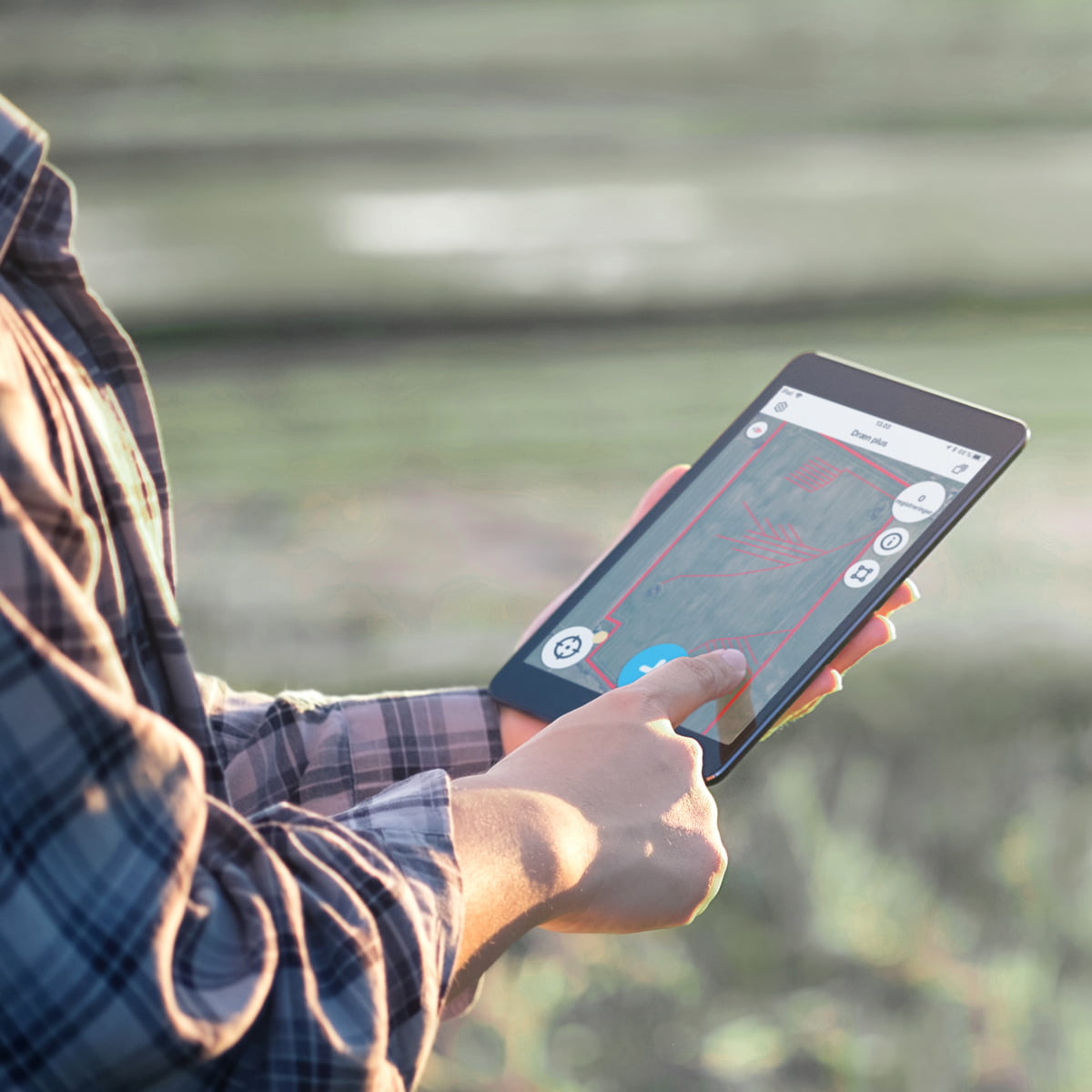
One of these is our GeoNote app, which is GIS-based. GeoNote combines all of the farm’s own data – including drains, fields and watercourses – with the public registers so that the farmer has all relevant and updated data in one place: on their telephone, tablet or the tractor’s GPS.
It is a unique tool that saves the farmer time, money and hassle.
Meet LE34 Dronninglund

Jes Juhl Jørgensen

Karin B. Severinsen