Klitgaard Agriculture
Projects
Click, click, click: digital drainage maps and daily management of projects in one and the same system save time in the agricultural sector.
Client:
- Klitgaard Agro
Period:
- 2016 -
Skills:
- GIS-based solution
- Digitalisation of drainage maps
- Localisation of drains
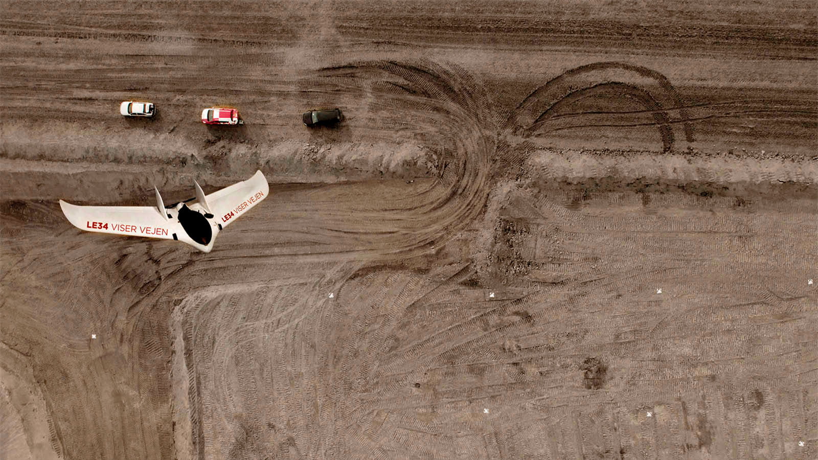
- UAV mapping
- Consultancy on new drainage solutions
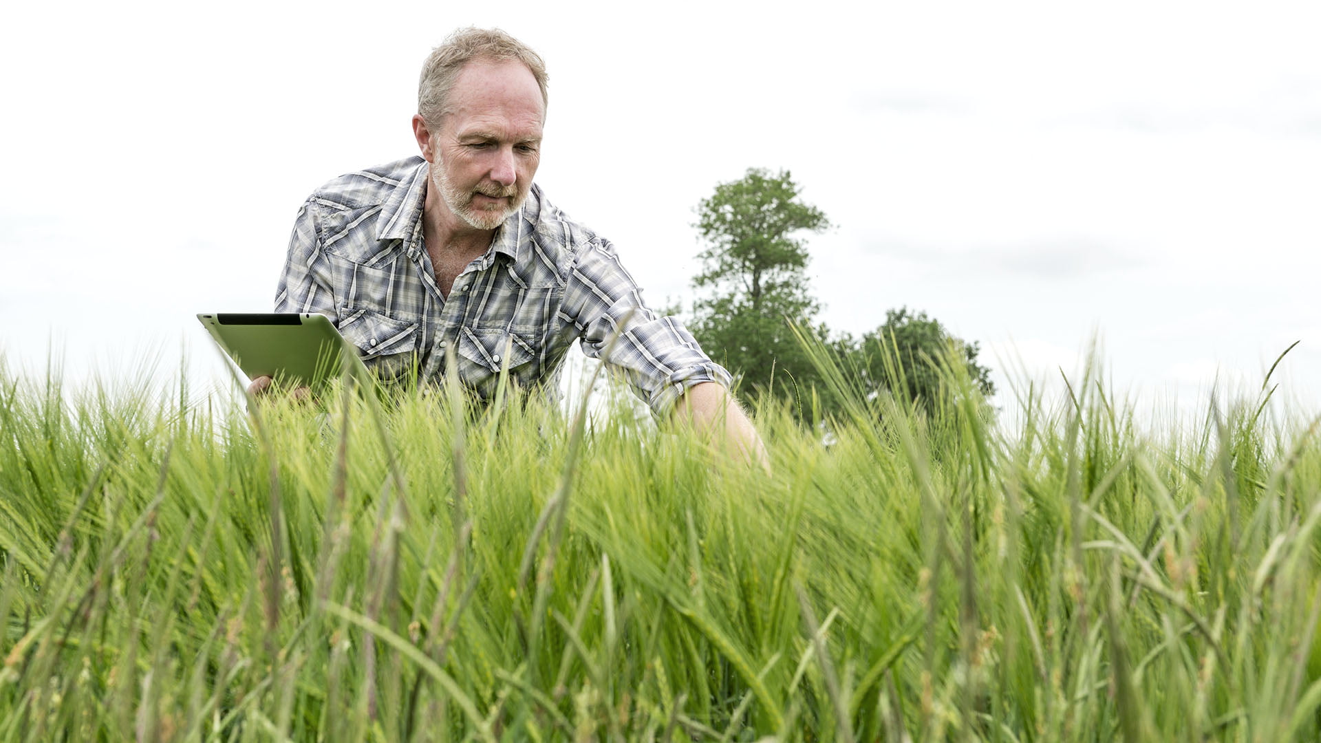
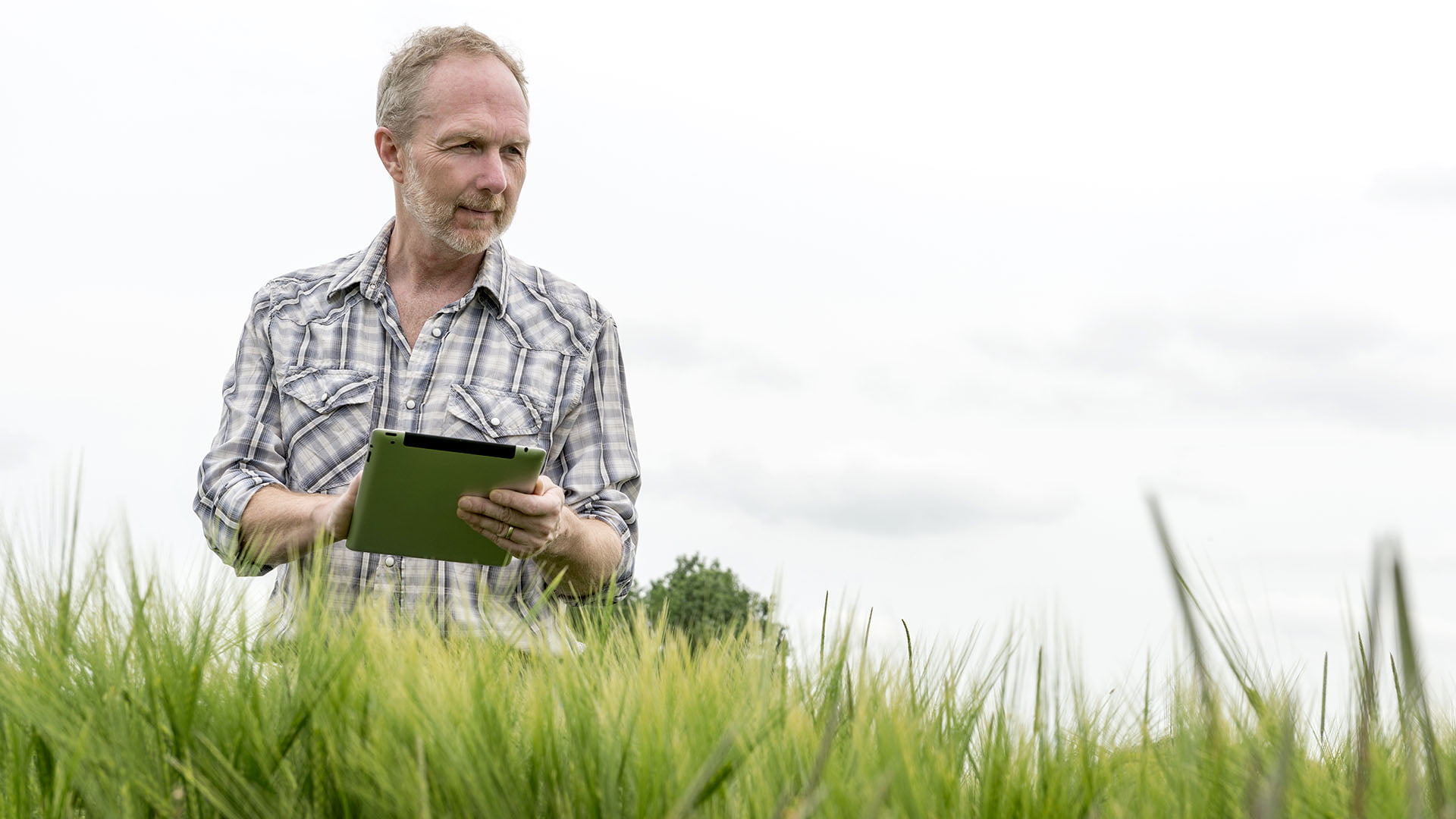
What do you get if you couple a surveyor, who specialises in digitalisation of drainage maps, property information and GIS technology with a large agricultural holding that only has old, paper drainage maps, has countless folders containing documents about the farm and uses yellow post-it notes to distribute jobs between the farmworkers?
Easy and precise overview
You get a user-friendly app that gives the farmer a complete overview of drains, property information and documentation of the jobs the employees have done. This is accumulated in a single GIS solution which you open in a browser.
Use it if you are the general manager of a large agricultural holding that consists of a number of farms and several hundred hectares of land. Use it to avoid the hassle of looking for drains in your fields. It will save you time when your drains need maintenance.
Use it for easy access to all leases. Use it to manage jobs – when you need to document how many times you have mown pastures to comply with regulatory requirements for aid per hectare. And use it to distribute the day’s jobs between employees – it is easier and more efficient to give the job to the employee closest at hand.
App with digital drainage maps
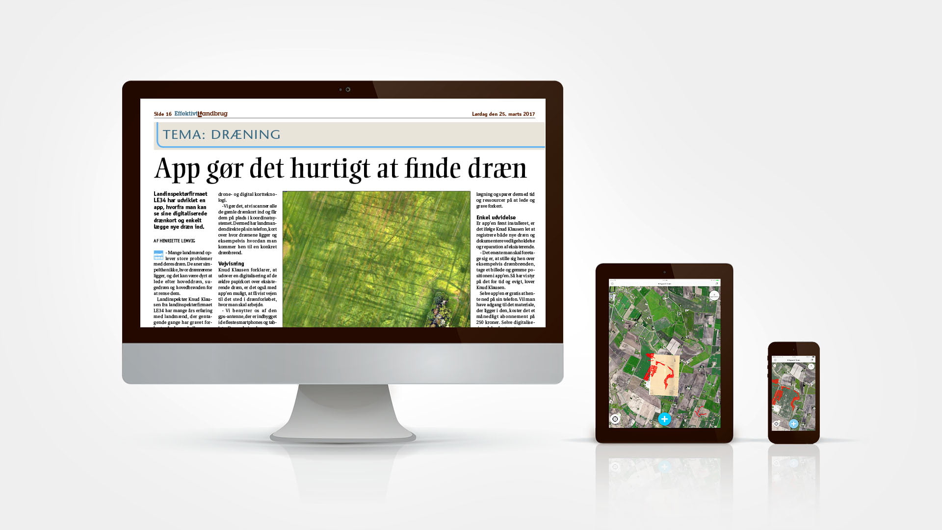
Click onto the information you need about drains and the day’s jobs, from the farm office, from behind the wheel of your tractor or from the barn. LE34’s mapping app works on computers, tablets and smartphones.
App with digital drainage maps
Click onto the information you need about drains and the day’s jobs, from the farm office, from behind the wheel of your tractor or from the barn. LE34’s mapping app works on computers, tablets and smartphones.
Michael Bundgaard, co-owner of Klitgaard Agro
“We spend a lot of time every year on locating drains and wells. Up to now, we’ve mostly used guesswork to find and inspect the underground pipes but we’ve started adding the drain network to the digital system.”
A three-step process
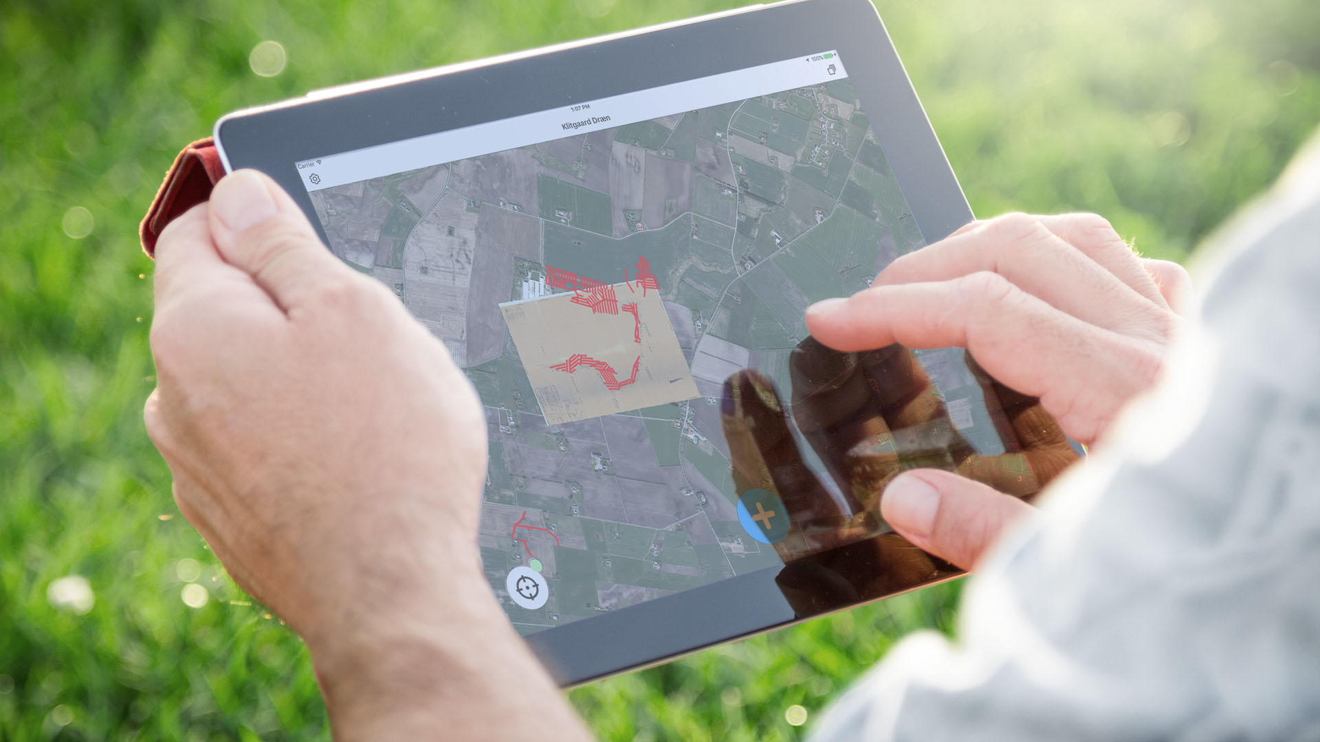
The mapping app is implemented in three stages. Initially, LE34 digitalises and geo-references the old, paper drainage maps or records them with drones. This creates a digital picture of the precise, geographical location of the drains. The digital drainage maps are sophisticated and also contain information on drain dimensions, materials and percentage of fall.
An efficient basis
Like many other farms, Klitgaard Agro’s challenge is that the water level is very high on their lands. Therefore, it is very important for them to be familiar with the location of their drains – if they don’t know where they are, they can’t service them. Land drainage is bread and butter to farmers. An efficient drainage system does not only ensure good profits, it forms the basis for rational and effective operations. Damaged or poorly maintained drains often result in lower profits and bottom line losses.
Digitalised drains
Step 2 of the mapping app deals with property administration. This is where Klitgaard Agro can see and store all of their own and public map data as well as documents on all of the properties belonging to Klitgaard. All of the details are stored in the same system as the digitalised drain data – these could include leases and emergency plans, which are stored in the system for the building to which they relate. Step 2 also includes a feature for task management. This is where Klitgaard Agro’s general manager distributes jobs between the employees via an app, which also includes the digitalised drainage map. These could be jobs such as ploughing the field, removing stones, looking for wild oats or cleaning the biogas plant.
The GeoNote Drains™ app
Step 3 involves ongoing digitalisation of new drains and wells – Klitgaard Agro does this itself with the help of LE34’s GeoNote Drains™app. With the app open on a mobile phone in one hand and a GPS antenna in the other, the client registers new main drains, under pressure drains and gullies. The only thing the user needs to do is stand over, for example, the gully, take a picture and save the position, which with the help of GPS coordinates is then correctly placed on the digital drainage map in the app – saved for posterity.