Breakthrough in road mapping
LE34’s latest surveying technology, Mobile Mapping, collects all of the data on your road network into a complete, user-friendly, digital overview, enabling you to record precise measurements directly from the screen. It is the market’s fastest and best tool for effective road management and design.
Only from LE34.

Anders Nygaard Møller, chartered land surveyor and Director, Engineering Surveying, LE34
“It usually takes two people 25 to 30 days to measure a section of road, but I can now manage it in a single morning. Using Mobile Mapping cuts the overall cost of a typical mapping and surveying assignment to a quarter.”
High accuracy – in no time
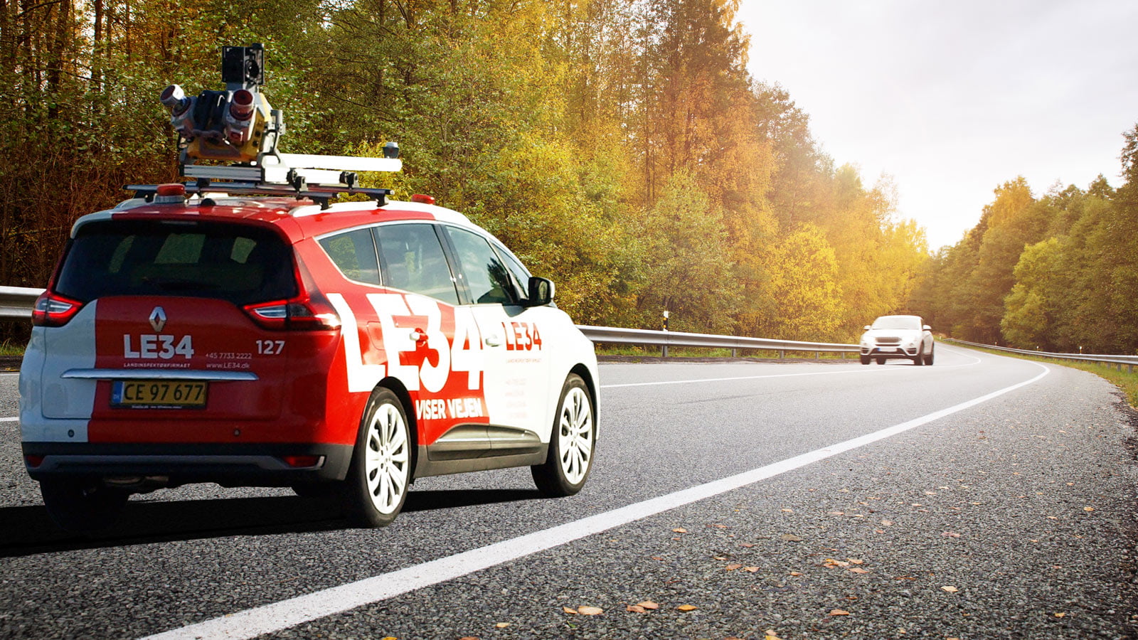
Just like the Google Street View vehicle that drives around our roads taking photographs, you will now see LE34’s vehicles using our Mobile Mapping technology to perform surveying tasks. Surveying an 11-kilometre, two-lane road section, which traditionally would have taken two people between 25 and 30 days to complete, can now be managed in a single morning by one person using state-of-the-art equipment that revolutionises surveying activities. The output is a point cloud and 360-degree images of the section. The accuracy is so good that, even at 80 km/h, the model provides a perfect basis for design and analysis.
Saves time, money and trouble
Using Mobile Mapping cuts the overall cost of a typical mapping and surveying assignment to a quarter. Because data collection is so quick, it makes sense, for instance, to measure the design basis for ten approved construction projects at once, instead of ordering ten separate surveys. Savings become really noticeable when we combine projects. And if you suddenly need to take a new measurement, you simply open the 3D program, zoom in on the relevant road and make the measurement directly on the screen.
All of your data – always to hand
You can, at any time, enter the 3D model we provide based on data collection and retrieve the exact information and measurements you need for a specific, new project, whether or not the original road survey was conducted for a different project.
PointView™: Intuitive user interface
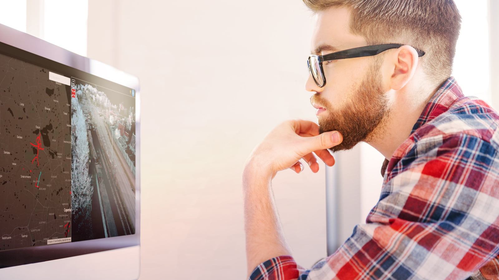
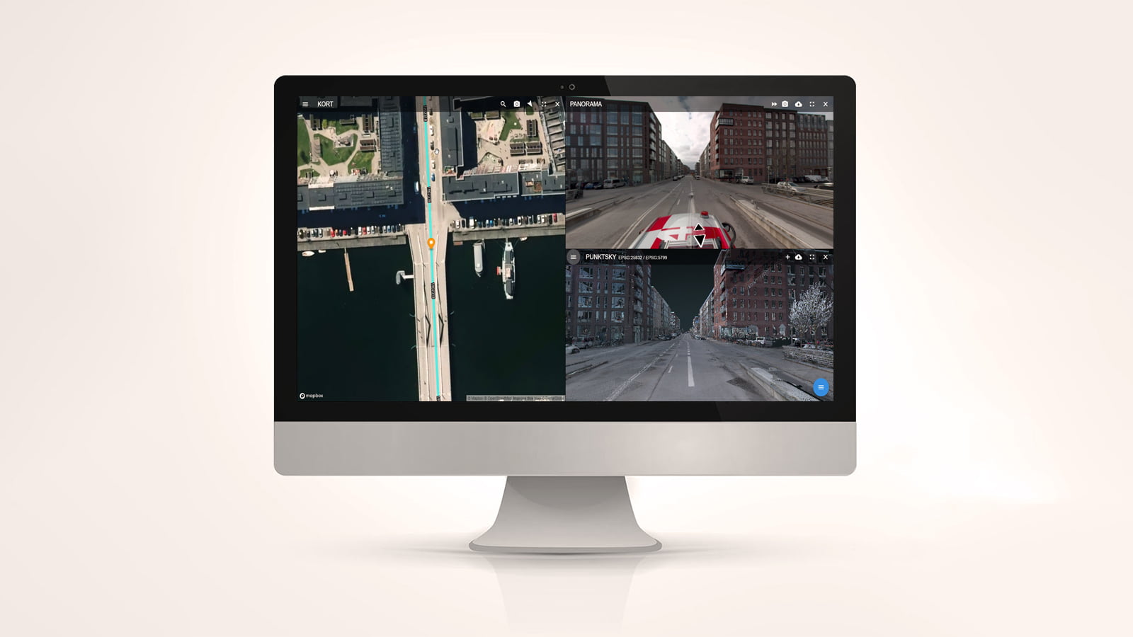
LE34 has developed a simple, web based visual overview with map function, point cloud and photographic documentation, which makes work easy and efficient.


PointView™: Intuitive user interface
LE34 has developed a simple, web based visual overview with map function, point cloud and photographic documentation, which makes work easy and efficient.

Record measurements directly on the screen
If you suddenly need to take a new measurement, you simply open your PointView™, zoom in on the relevant road and make the measurement directly on the screen.
View the condition of the road surface from your office
Two rotating laser scanners, a 360-degree camera with 40 megapixels and three additional cameras that pick up height details feed the system with data. If you need the distance between two kerbstones, for instance, the output is accurate to within 5 mm when the vehicle is travelling at 80 km/h. In addition to traditional mapping, Mobile Mapping can also help with road maintenance.
The system can provide local authorities with a summary of the condition of a given road section. A rear-facing camera on the vehicle takes images of the asphalt surface while lasers measure the depth of pits in the road. This enables us to document how much asphalt will be needed to repair the surface.

